Water covers 70% of the globe. It is just as critical to understanding the bottom and underlying terrain as it is to construct ships. Hydrographic analysis may be used to achieve this (underwater investigations). This article will mention a few of the hydrographic...
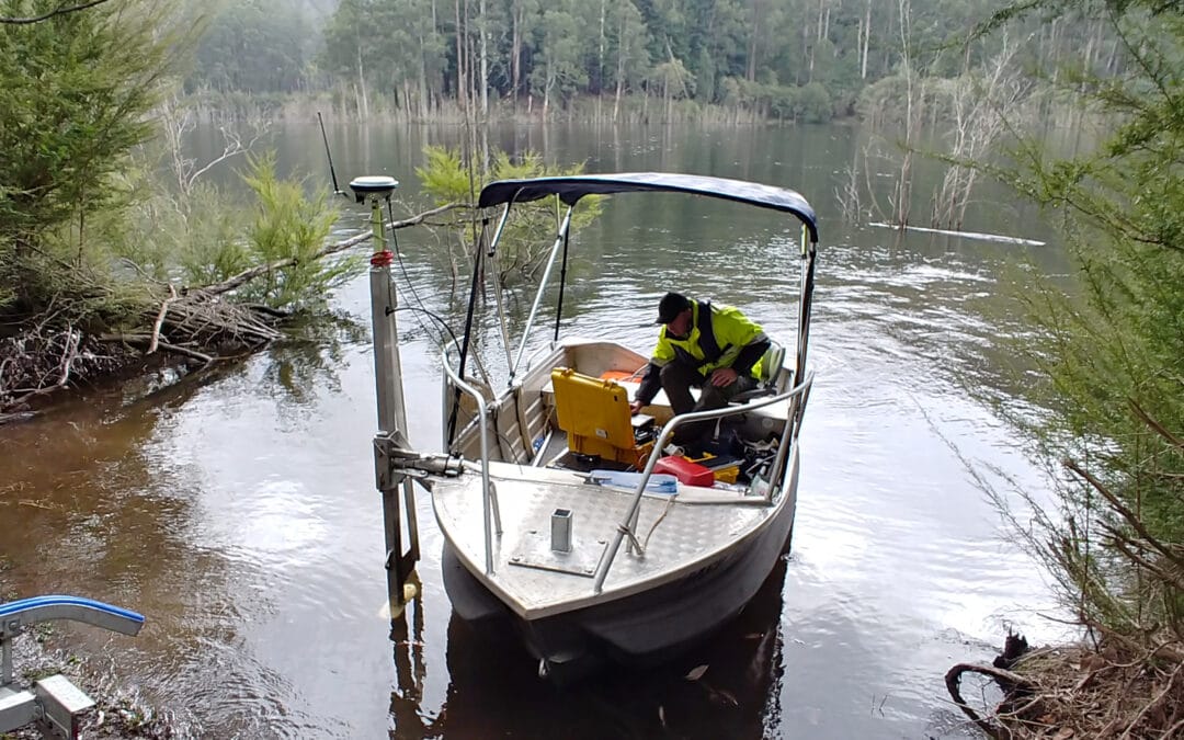
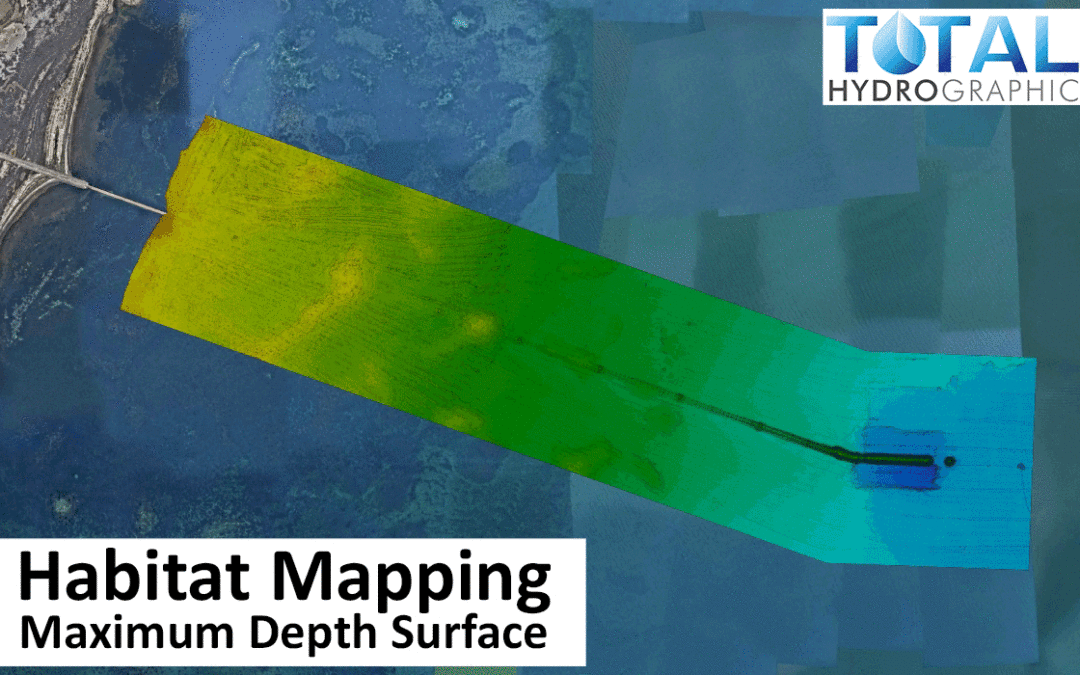
A map of marine ecosystems across time may be used to understand their evolution better. Marine ecosystems are investigated, representative species are chosen, and the ecosystems are plotted via Marine Habitat Mapping of the world’s oceans. One million species...
Under Keel Clearance refers to the distance between the deepest part of a ships hull (or its keel) and the ocean floor. According to nautical terminology, Under Keel Clearance is dynamic pressure draught less the least possible depth of water. A ship’s clearance...
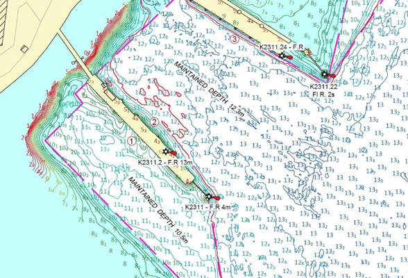
What is Dredging rivers and why is it important? Globalisation has connected the world to such an extent that it is referred to as a global village. From information to products, things are shared worldwide. Maintaining channels and routes to expedite the transport of...
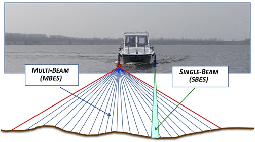
SO what is a Single Beam Survey? Today, information is a key factor for human beings to plan, understand, and take appropriate action to maintain a habitable and pleasant environment on Earth. Interesting enough, 80 percent of the earth’s oceans remain...
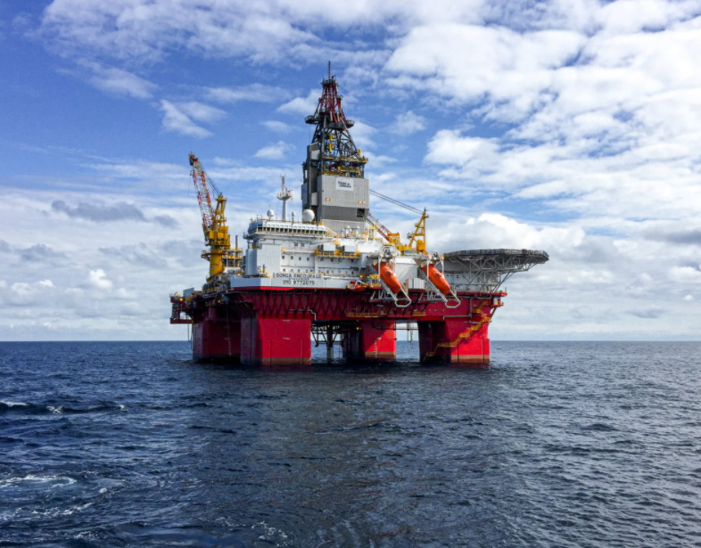
When working in the hydrographic survey industry, you cannot go too far without bumping into an opportunity related to the Oil & Gas industry. The two industries have a harmonious relationship. With the hydrographic industry acting as a vital support service to...
Recent Comments