Water covers 70% of the globe. It is just as critical to understanding the bottom and underlying terrain as it is to construct ships. Hydrographic analysis may be used to achieve this (underwater investigations). This article will mention a few of the hydrographic surveys, and the equipment required to perform them. We at Total Hydrographic can help you understand what lies beneath the water by conducting these various surveys, depending on the project and the information needed.
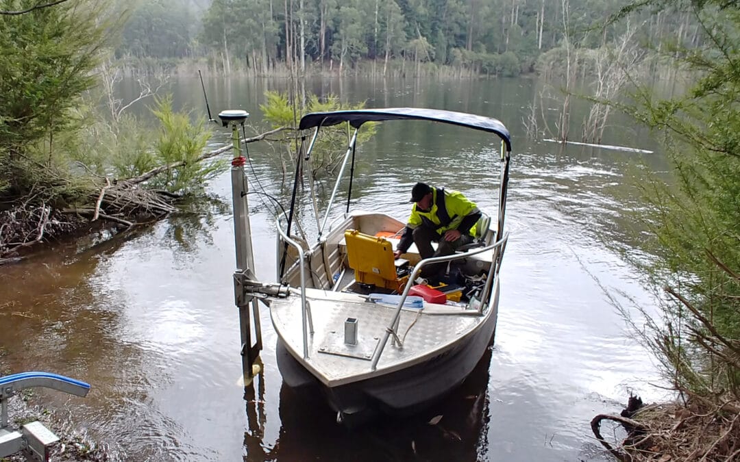
Photographing water levels in different locations is a component of a hydrographic analysis. Numerous waterbody managing authorities (like councils, dams, ports etc.) rely on it to determine the amount and kind of water they have. Continue reading if you’re interested in learning more about this kind of survey and the employment possibilities provided by Total Hydrographic. Read this article to get a better understanding of hydrographic surveys.
What is Hydrographic Surveying?
Marine research is concerned with identifying subsea characteristics. Water depths, geography, and tidal measurements are all investigated. Knowing the heights and forms of the ocean’s bottom has a variety of uses. Without bathymetric surveys, hydrographic surveys cannot be performed (measurement). Instead of doing a survey from land, bathymetry data is collected through a moving ship. Consequently, it is critical to pay close attention to any errors that may occur as a result of this shift.
Hydrographic surveying is mainly concerned with determining the depths of bodies of water. Hydrographic surveying is utilised for various purposes, from canal design to dredge analysis to wreck identification. Surveying is used in the construction of harbours, docks, and dams. Ports must have adequate water depth to enable ships to enter and dock securely. Underwater surveying is used to gather data for large-scale building projects. Oil and gas infrastructure may be serviced remotely utilising surveying technology. Hydrographic studies may eventually remove the requirement for human inspections entirely. Surveying enables the construction of suitable pipe tracks while installing underwater pipes.
Surveys Can Be Divided Into Several Types
Hydrographic surveys may be classified into five broad types, although more subcategories may be used.
Coastal Surveys:
Are conducted to learn about a country’s shoreline and document flora, and fauna found there and nearby. This survey is often performed inside a country’s maritime boundaries, which may extend up to 200 nautical miles beyond the country’s shore. Additionally, they aid in the study of possible land reclamation projects and beach re-nourishment.
General Hydrographic Surveys:
Investigate water depth, mean sea level, coastline identification, and bathymetric plots. They are the most often seen kind of surveys. These surveys serve several purposes in scientific and geological studies.
Harbour Surveys:
Are conducted to determine the most appropriate locations for these facilities. National governments are responsible for determining the most viable sites that do not impose drought restrictions on boats. Lagoons surrounded by coral reefs, for example, make it difficult for ships to approach the mainland. Before the building of a port, several issues must be solved.
Passage Surveys:
Are performed to turn inland waterways into navigable routes. They evaluate the condition of inland waterways and provide suggestions for their development. To improve productivity and trade, this research will examine mean draught, passage width, and the size of ships that may transit the channel. Additionally, passage studies are being undertaken to assess the feasibility of building straits similar to the Panama and Suez Canals.
Wreckage Surveys:
Are conducted to ascertain the exact location of the wreckage. It may be performed as part of an inquiry to establish the most probable cause of the vessel’s sinking or as part of the salvage operation itself. Floating boats sink as a result of internal flooding. It is possible to have highly qualified hydrographers investigate the wreckage’s position. They may provide light on the degree of structural damage as well as potential flooding sources. It is essential to avoid causing damage to the vessel or the surrounding environment during salvage operations. By performing tests in the vicinity of the wreck, it can assess if a salvage method is feasible.
Underwater asset management:
Is a survey where assets submerged underwater that support structures above the water level, like bridges, need to be undertaken to ensure the structure is safe and not damaged/ eroded.
Bottom-line
These hydrographic analyses are advantageous in study areas where approximations of hydrographic parameters are acceptable. They are carried out for geological reasons, to find oil and gas infrastructure, to establish underwater communication networks, and for military objectives. If you want to discuss your next project on a dam, estuary, river, port or other waterbody and want to know what the underwater floor is looking like, to make the best decisions then get in touch today.
Recent Comments