Water covers nearly 70% of the earth’s surface. Navigating safely over the ocean’s surface depends on an understanding of the seabed and subsurface topography. Hydrographic surveying – which involve underwater surveys and studies – provide this...
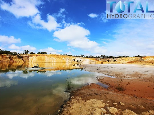
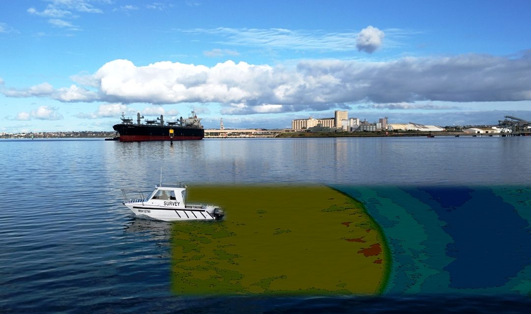
An Australian project reveals surprising results at mineral sands mine Over a four-year period, Total Hydrographic undertook a project at a mineral sand mine to survey the condition of the mine’s dredge pond. Survey was conducted utilising manned and unmanned vessels....
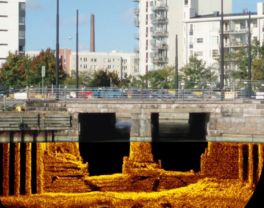
What is Hydrographic Survey? Part of the maritime science study is the analysis, measurements, description, and mapping of features found underwater called hydrographic survey. Bathymetric survey is the mapping of the submarine topography, known as...
Recent Comments